MARINO PH
Your Maritime Digital Hub

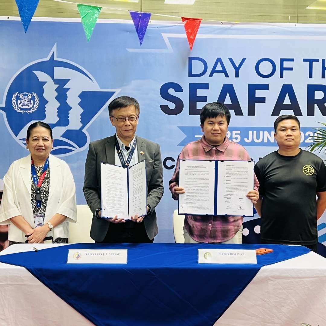
MANILA, Philippines — MARINO PH has established itself as the largest digital maritime media platform in the Philippines, building a nationwide and international audience centered on Filipino seafarers and the maritime industry. The organization now has more than 2.7 million followers on Facebook, while its official website, www.marinoph.com, has more than 900,000 subscribers and readers. Its digital presence is supported by strong social media reach and engagement, allowing maritime news, government advisories, industry developments, educational materials, employment information, and seafarer welfare updates to reach audiences in the Philippines and overseas. The MARINO PH website identifies the organization as the country’s largest maritime community and operates as a dedicated digital hub for maritime news, events, educational information, and other industry content.
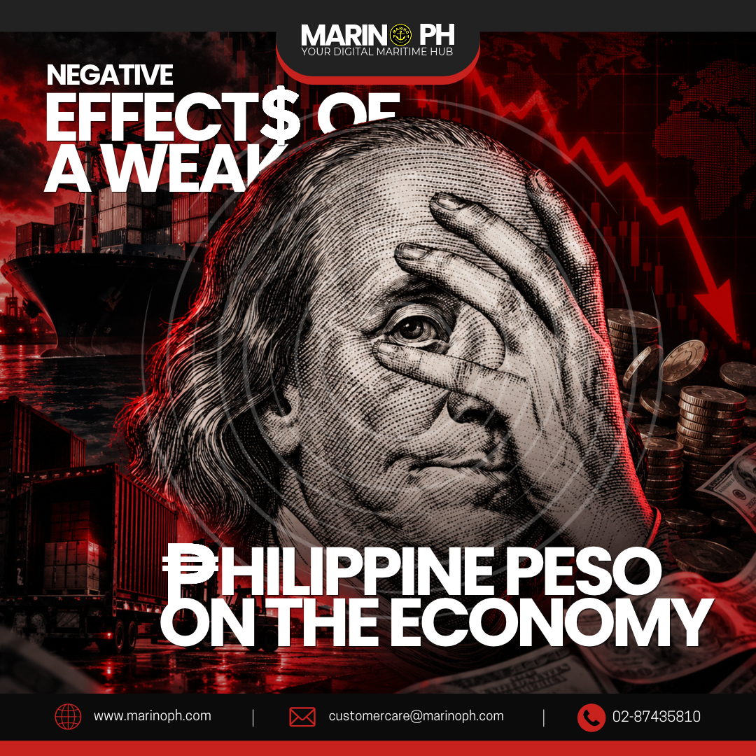
A weakening Philippine peso affects the country’s economy by making imported goods and services more expensive. While a weaker peso may benefit exporters and Filipinos receiving foreign-currency remittances, it can also increase living expenses, affect businesses, and reduce consumers’ purchasing power.
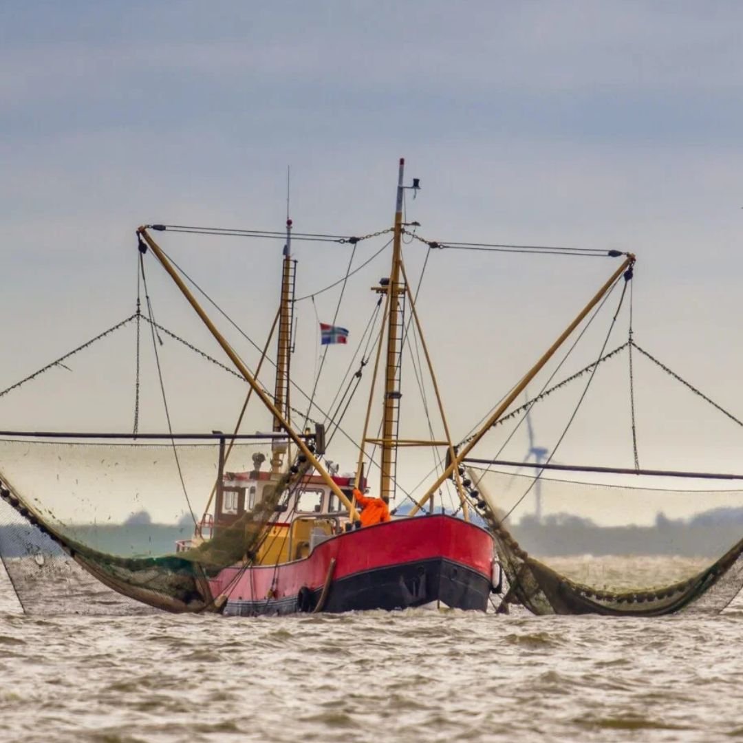
UNITED STATES — The administration of President Donald Trump announced the America First Seafood Strategy on October 23, 2026, outlining plans to strengthen the country’s commercial fishing industry, modernize fishing vessels, increase domestic seafood production, and improve market opportunities for American fishermen. According to the National Oceanic and Atmospheric Administration (NOAA), the strategy focuses on upgrading fishing fleets, shipyards, ports, cold storage facilities, and seafood processing plants. Federal agencies will also review existing financing programs and simplify permitting procedures to encourage private investment in safer and more efficient American-built fishing vessels.
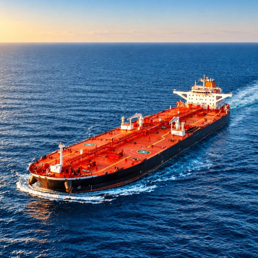
Record Tanker Freight Rates Threaten to Push U.S. Oil Exports to Asia to Seven-Year Low
UNITED STATES — Rising tanker freight rates are threatening to push U.S. crude oil exports to Asia to their lowest level in seven years, as disruptions linked to the conflict involving Iran continue to affect global shipping. Higher transportation costs have made American crude oil less competitive for Asian refiners, reducing demand for long-distance shipments. According to market traders, Asian refinery orders for U.S. crude oil scheduled for November delivery have declined by approximately 50% to between 24 million and 26 million barrels. Ship-tracking data from Kpler and Vortexa indicate that shipments could reach a seven-year low if the current purchasing trend continues through October.
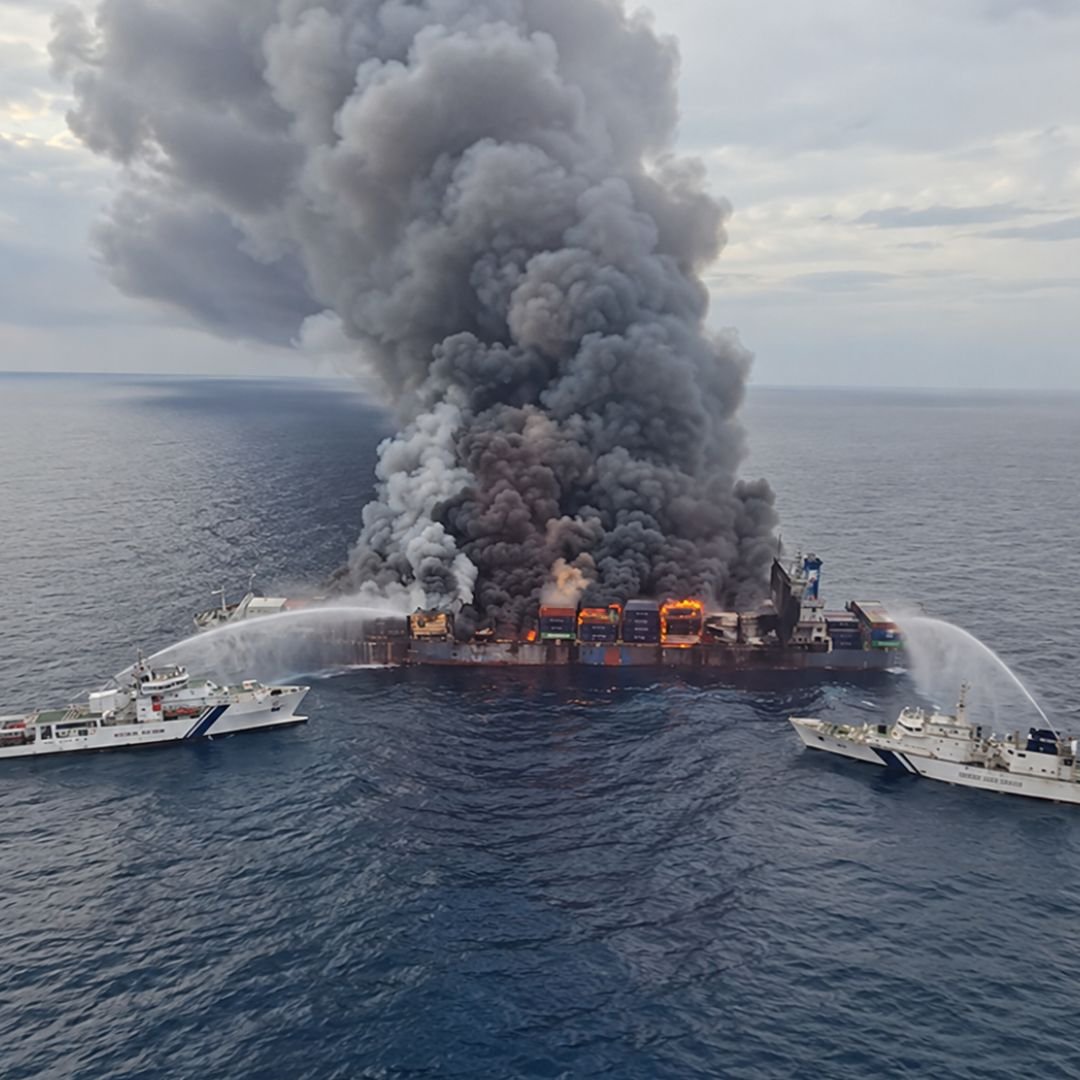
Salvage Teams Continue Firefighting Operations on Two Container Ships at Sea
Salvage teams are continuing firefighting operations aboard two container ships, HMM Platinum and Espirito Santo Express, following separate fire incidents in waters near South Africa and the South Atlantic Ocean. As of October 23, 2026, efforts remained focused on extinguishing the fires, stabilizing the vessels, and assessing their conditions before further recovery operations. According to HMM, firefighting operations aboard HMM Platinum have reached the final cooling and monitoring stage. All 24 crew members are reported safe. The vessel, carrying approximately 2,300 TEUs, remains offshore near South Africa after adverse weather conditions prevented it from proceeding to port. Tugboats are reportedly standing by as a precaution while authorities and salvage personnel assess the situation.
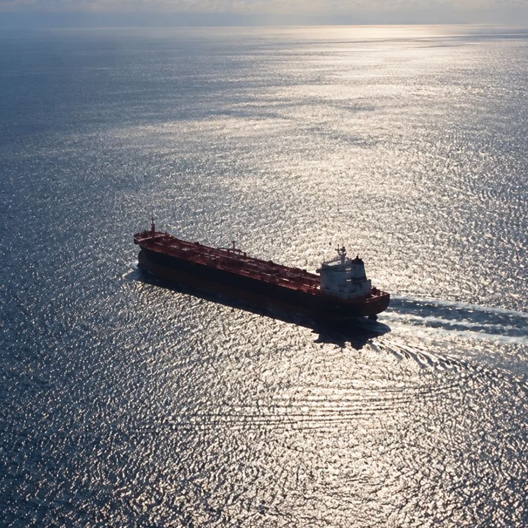
Greek-Managed Tanker Departs Russia with Diesel Cargo Bound for United States
A Malta-flagged oil tanker managed by a Greek shipping company has departed Russia carrying approximately 40,000 metric tons of diesel reportedly bound for the United States, marking a possible resumption of Russian fuel deliveries following the easing of U.S. sanctions. The product tanker Agioi Fanendes, with a deadweight capacity of approximately 50,000 tons, loaded nearly 300,000 barrels of ultra-low-sulfur diesel at the Russian Baltic port of Primorsk before departing on October 22. Vessel-tracking data initially indicated New York as its destination, with an estimated arrival on November 7. However, its Automatic Identification System (AIS) destination was subsequently changed to "for orders," leaving the final discharge port unconfirmed.
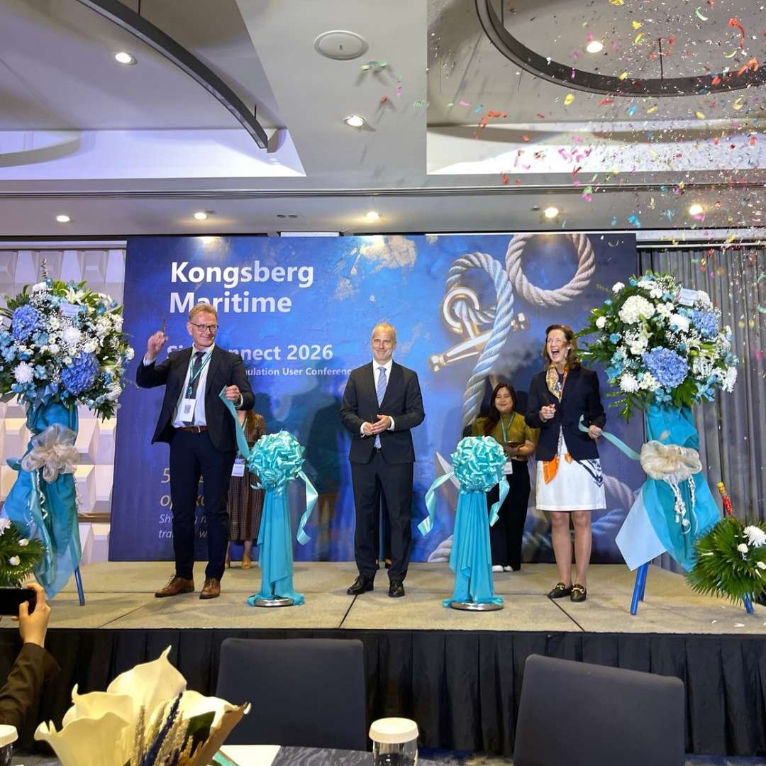
MANILA, Philippines — Kongsberg Maritime successfully concluded its SimConnect Asia & Pacific Simulation User Conference 2026 on October 23 at Citadines Bay City Hotel in Manila, bringing together maritime professionals, industry leaders, training institutions, regulators, and other key stakeholders. The conference served as a platform for discussing technological advancements, maritime education, and the evolving requirements of the global shipping industry. Highlighting 50 years of maritime simulation excellence, the gathering emphasized the importance of innovation in preparing seafarers for increasingly complex shipboard operations. The event also encouraged stronger cooperation among maritime organizations committed to improving training quality, competency assessment, and operational safety.
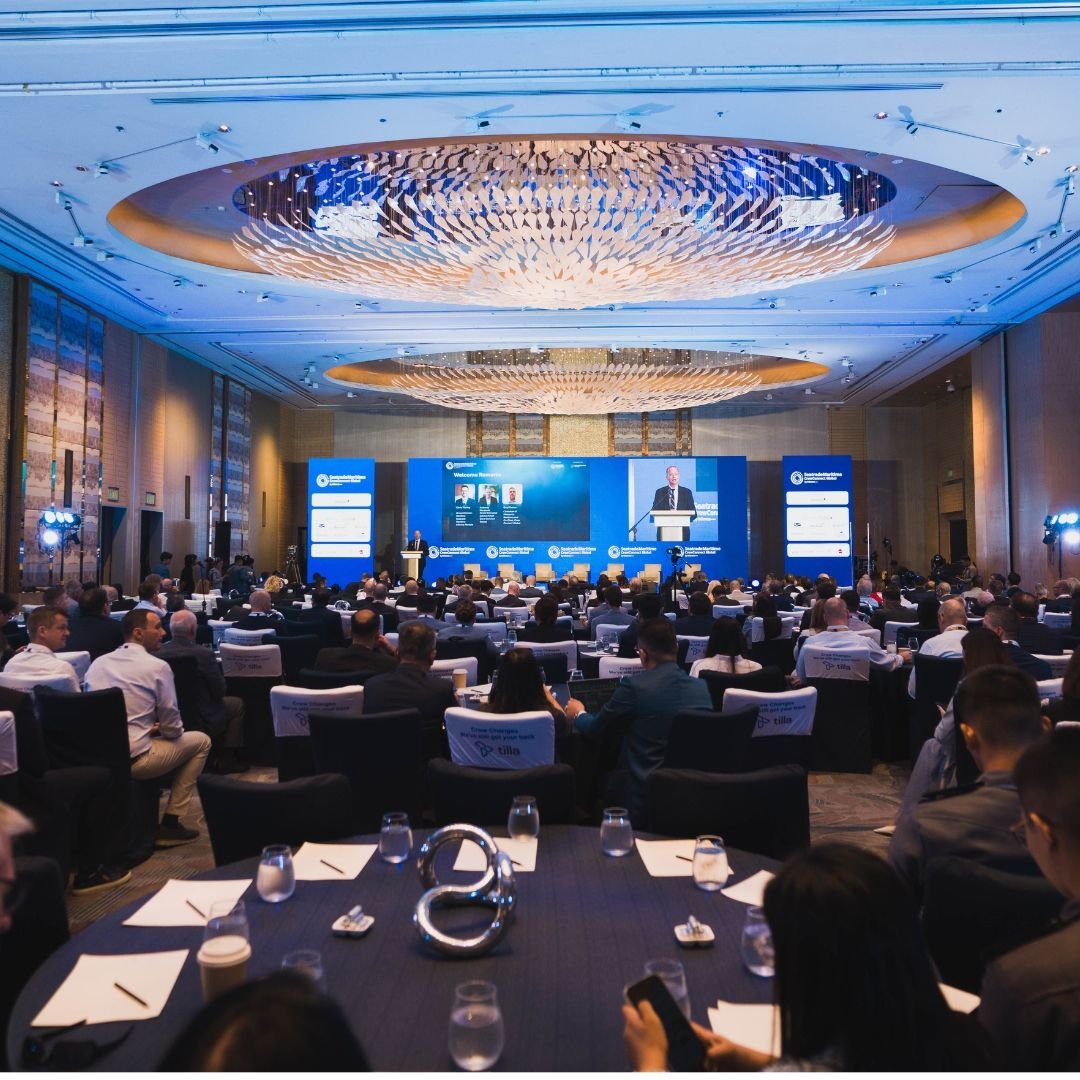
TAGUIG CITY, Philippines — Seatrade Maritime Crew Connect Global 2026 successfully concluded its three-day international conference held from October 20 to 22, 2026, at Shangri-La The Fort, Bonifacio Global City, bringing together maritime executives, shipowners, ship managers, government regulators, maritime training institutions, and industry stakeholders from across the world. The international gathering served as a platform for strengthening maritime cooperation, addressing workforce challenges, and advancing initiatives focused on seafarer welfare, professional development, and the future of global shipping. Featuring expert-led discussions, industry exhibitions, networking activities, and recognition ceremonies, the conference highlighted the maritime sector’s continuing commitment to innovation, sustainability, and human resource development. The successful gathering also reinforced the Philippines’ important role as a major supplier of skilled maritime professionals to the international shipping industry.
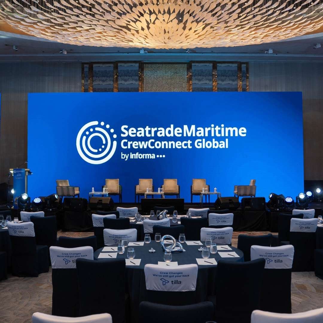
Final Day of Seatrade Maritime Crew Connect Global 2026 Successfully Concludes in Manila
TAGUIG CITY, Philippines — The third and final day of Seatrade Maritime Crew Connect Global 2026 successfully concluded on October 22 at Shangri-La The Fort, Bonifacio Global City, marking the completion of the international maritime conference. The concluding sessions brought together maritime executives, industry experts, shipping representatives, and stakeholders to address critical issues affecting seafarer welfare, working conditions, and the future of the global maritime workforce.
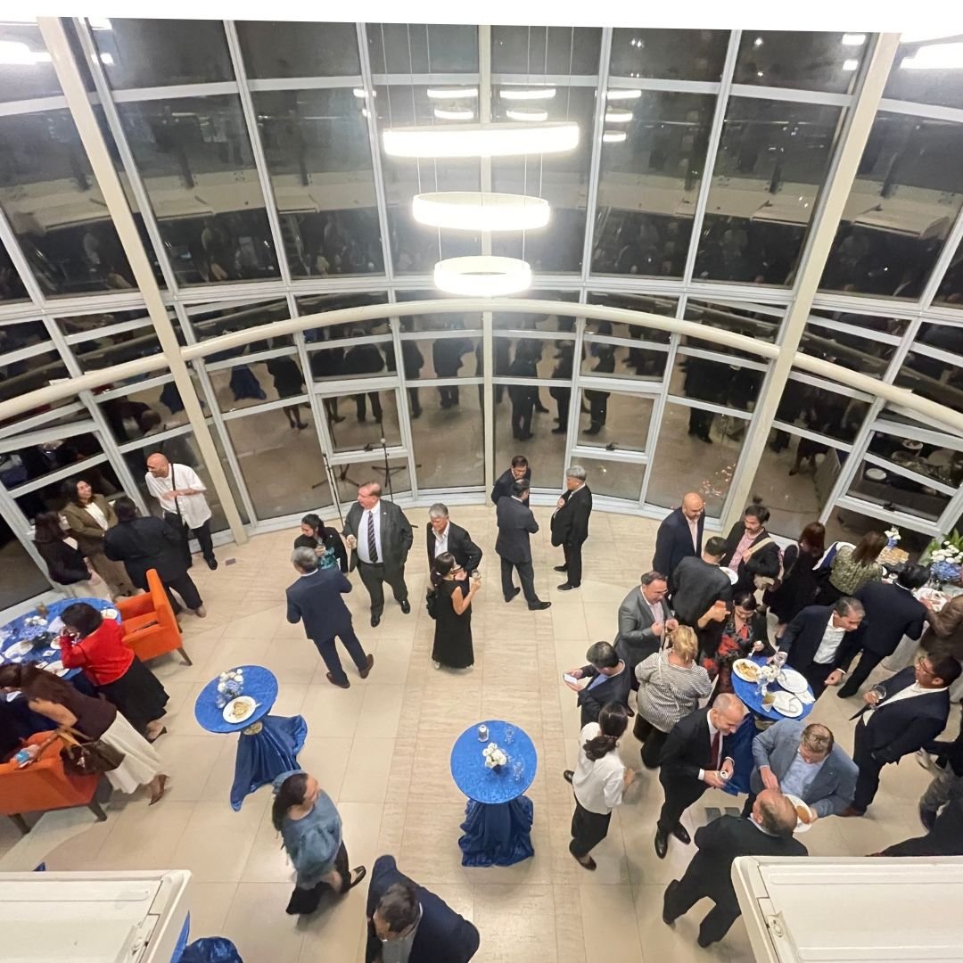
TAGUIG CITY, Philippines — Del Rosario & Del Rosario Law Offices, one of the Philippines’ established maritime law firms, celebrated its 49th anniversary with a thanksgiving reception on October 22, 2026, at the DelRosarioLaw Centre in Bonifacio Global City, marking nearly five decades of legal service and contributions to the maritime industry.
An allotment is a portion of a seafarer’s monthly salary remitted by the employer to the seafarer’s designated beneficiary, known as the allottee, in the Philippines.
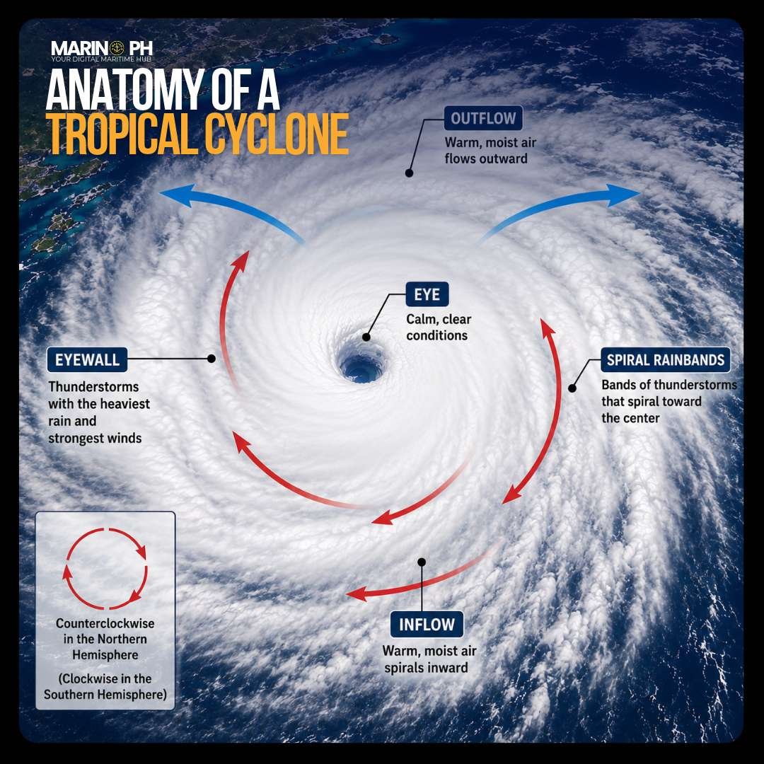
A tropical cyclone is a powerful rotating weather system that develops over warm ocean waters. Its main features include the eye, eyewall, spiral rainbands, inflow, and outflow. The eye is generally calm, while the surrounding eyewall produces the strongest winds and heaviest rainfall. Spiral rainbands extend outward, bringing thunderstorms and gusty winds across a wide area.
CPR, or Cardiopulmonary Resuscitation, is an emergency lifesaving procedure performed when a person is unresponsive and not breathing normally or has no signs of circulation. It combines chest compressions and, when appropriate, rescue breaths to help keep blood and oxygen flowing to the brain and other vital organs until the heart starts working again or professional medical help arrives. For an adult, CPR generally uses 30 chest compressions followed by 2 rescue breaths, repeated at a rate of 100–120 compressions per minute. An AED should be used as soon as it becomes available.
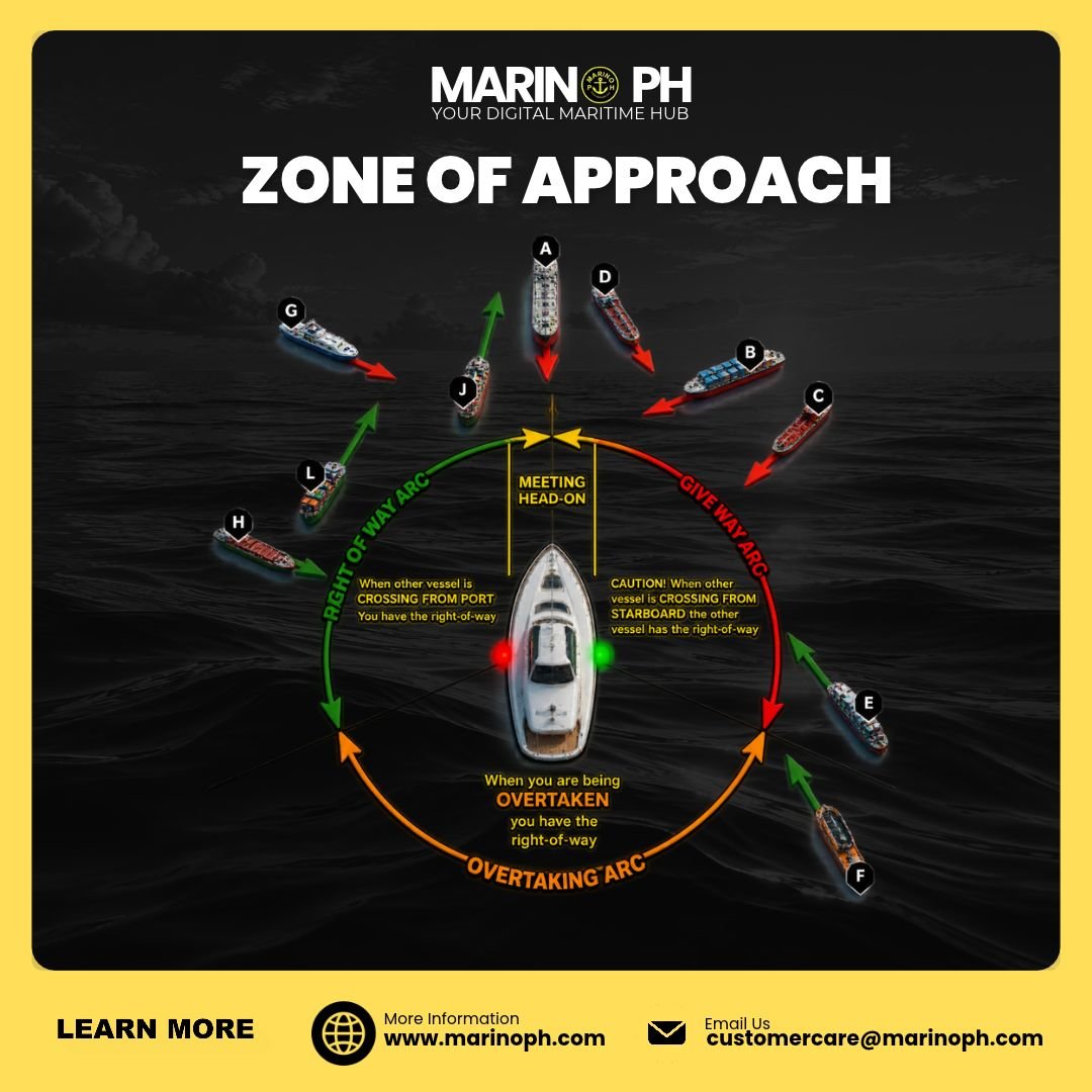
Navigate with awareness and confidence! Understanding the zone of approach helps mariners recognize how vessels meet, cross, and overtake—building the awareness needed to assess potential collision risks.
